River Wampool at the Laythes
Introduction
The photograph on this page of River Wampool at the Laythes by Oliver Dixon as part of the Geograph project.
The Geograph project started in 2005 with the aim of publishing, organising and preserving representative images for every square kilometre of Great Britain, Ireland and the Isle of Man.

There are currently over 7.5m images from over 14,400 individuals and you can help contribute to the project by visiting https://www.geograph.org.uk
River Wampool at the Laythes
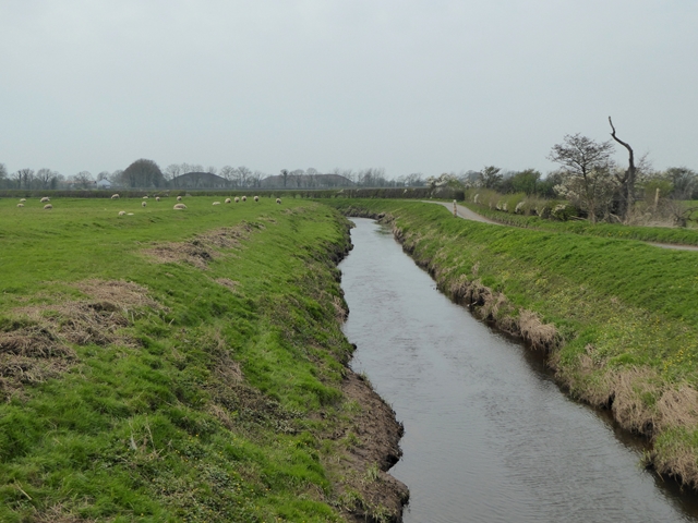
Image: © Oliver Dixon Taken: 9 Apr 2017
Looking upstream. The road runs to Kirkbride. The silhouette of hangars on the old RAF Kirkbride airfield can be seen in the distance.
Images are licensed for reuse under creativecommons.org/licenses/by-sa/2.0
Image Location
Latitude
54.889911
Longitude
-3.18309