South Kessock Shore, Carnac Point and Kessock Bridge
Introduction
The photograph on this page of South Kessock Shore, Carnac Point and Kessock Bridge by David Dixon as part of the Geograph project.
The Geograph project started in 2005 with the aim of publishing, organising and preserving representative images for every square kilometre of Great Britain, Ireland and the Isle of Man.

There are currently over 7.5m images from over 14,400 individuals and you can help contribute to the project by visiting https://www.geograph.org.uk
South Kessock Shore, Carnac Point and Kessock Bridge
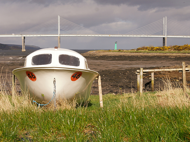
Image: © David Dixon Taken: 4 Apr 2017
Carnac Point is at South Kessock, Inverness. A small navigation beacon tower is situated on the point, which extends out into the Beauly Firth. Part of the Kessock Bridge can be seen behind the tower.
Images are licensed for reuse under creativecommons.org/licenses/by-sa/2.0
Image Location
Latitude
57.493827
Longitude
-4.240364