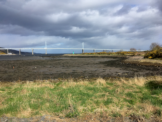
Beauly Firth and Kessock Bridge
Introduction
The photograph on this page of Beauly Firth and Kessock Bridge by David Dixon as part of the Geograph project.
The Geograph project started in 2005 with the aim of publishing, organising and preserving representative images for every square kilometre of Great Britain, Ireland and the Isle of Man.
There are currently over 7.5m images from over 14,400 individuals and you can help contribute to the project by visiting https://www.geograph.org.uk

Image: © David Dixon Taken: 4 Apr 2017
The Kessock Bridge (Gaelic: Drochaid Cheasaig) is a cable stayed bridge which carries the A9 trunk road across the Beauly Firth, an inlet of the Moray Firth, between Inverness and the village of North Kessock. The bridge has a total length of 1,056 metres with a main span of 240 metres. It is raised high over sea level because the Beauly Firth is a navigable waterway. The four bridge towers dominate the Inverness skyline, especially at night when they are lit. Construction on the bridge began in 1976, with completion and opening in 1982. Prior to 1982, travellers north of Inverness had the choice of the Kessock Ferry or a journey via Beauly.

