River Ness Estuary
Introduction
The photograph on this page of River Ness Estuary by David Dixon as part of the Geograph project.
The Geograph project started in 2005 with the aim of publishing, organising and preserving representative images for every square kilometre of Great Britain, Ireland and the Isle of Man.

There are currently over 7.5m images from over 14,400 individuals and you can help contribute to the project by visiting https://www.geograph.org.uk
River Ness Estuary
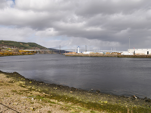
Image: © David Dixon Taken: 4 Apr 2017
The mouth of the River Ness at South Kessock. The River Ness (Scottish Gaelic: Abhainn Nis) is a relatively short river about 12 miles long which flows from the northern end of Loch Ness, through Loch Dochfour, to Inverness, where it discharges into the Beauly Firth. The river is the origin of the name of the city of Inverness which is from the Scottish Gaelic: Inbhir Nis, meaning "Mouth of the Ness".
Images are licensed for reuse under creativecommons.org/licenses/by-sa/2.0
Image Location
Latitude
57.492774
Longitude
-4.238964