Mixed residential and business development
Introduction
The photograph on this page of Mixed residential and business development by Nigel Corby as part of the Geograph project.
The Geograph project started in 2005 with the aim of publishing, organising and preserving representative images for every square kilometre of Great Britain, Ireland and the Isle of Man.

There are currently over 7.5m images from over 14,400 individuals and you can help contribute to the project by visiting https://www.geograph.org.uk
Mixed residential and business development
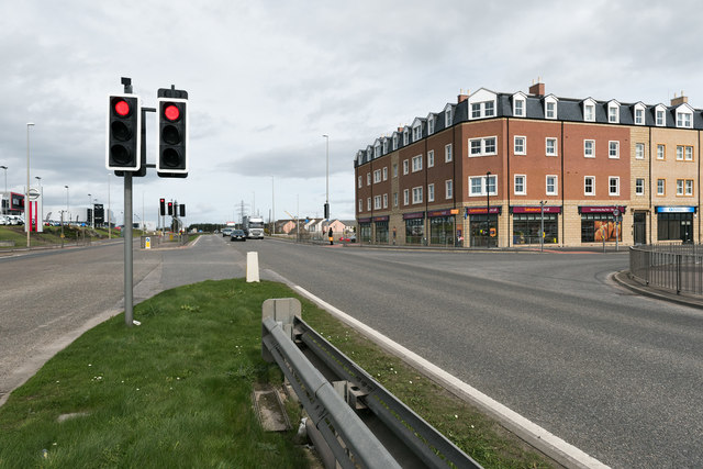
Image: © Nigel Corby Taken: 4 Apr 2017
A recent mixed residential and business development at the junction of Wellington Road and Charleston Road North. Sainsbury's occupies the ground floor on the corner.
Images are licensed for reuse under creativecommons.org/licenses/by-sa/2.0
Image Location
Latitude
57.105419
Longitude
-2.095562