Fenced Area
Introduction
The photograph on this page of Fenced Area by Bill Nicholls as part of the Geograph project.
The Geograph project started in 2005 with the aim of publishing, organising and preserving representative images for every square kilometre of Great Britain, Ireland and the Isle of Man.

There are currently over 7.5m images from over 14,400 individuals and you can help contribute to the project by visiting https://www.geograph.org.uk
Fenced Area
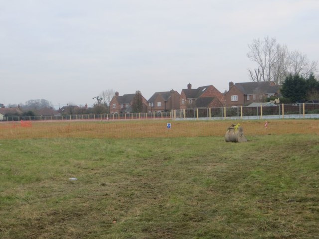
Image: © Bill Nicholls Taken: 2 Dec 2016
Found out the fenced area was excavated originally prior to the one going on at the moment. A substantial Roman building was found and excavated then recorded. It was recovered and will be not built upon being used as a play area. The building also went on under the housing on Celsea Place so must have been damaged when the house were built then back in the 1960's in Cholsey
Images are licensed for reuse under creativecommons.org/licenses/by-sa/2.0
Image Location
Latitude
51.570409
Longitude
-1.148236