Neasden Circle
Introduction
The photograph on this page of Neasden Circle by David Howard as part of the Geograph project.
The Geograph project started in 2005 with the aim of publishing, organising and preserving representative images for every square kilometre of Great Britain, Ireland and the Isle of Man.

There are currently over 7.5m images from over 14,400 individuals and you can help contribute to the project by visiting https://www.geograph.org.uk
Neasden Circle
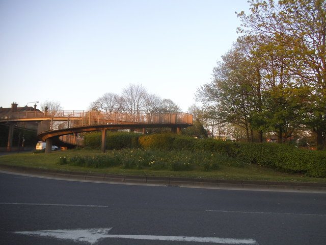
Image: © David Howard Taken: 8 Apr 2017
This was built to create access to the new underpass under the North Circular Road in 1973 http://www.sabre-roads.org.uk/wiki/index.php?title=Neasden_Junction
Images are licensed for reuse under creativecommons.org/licenses/by-sa/2.0
Image Location
Latitude
51.558299
Longitude
-0.250335