River Rom, between South St and Davidson Way, Romford
Introduction
The photograph on this page of River Rom, between South St and Davidson Way, Romford by Richard Winch as part of the Geograph project.
The Geograph project started in 2005 with the aim of publishing, organising and preserving representative images for every square kilometre of Great Britain, Ireland and the Isle of Man.

There are currently over 7.5m images from over 14,400 individuals and you can help contribute to the project by visiting https://www.geograph.org.uk
River Rom, between South St and Davidson Way, Romford
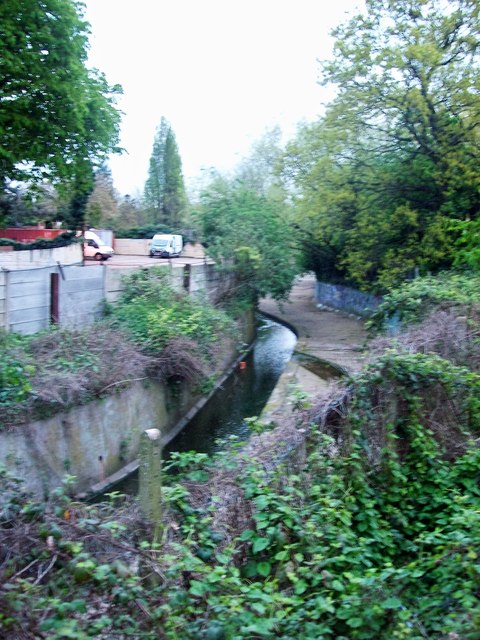
Image: © Richard Winch Taken: 10 Apr 2017
The Rom is a tributary of the Thames, and its name changes to the River Beam as it gets closer to London.
Images are licensed for reuse under creativecommons.org/licenses/by-sa/2.0
Image Location
Latitude
51.570992
Longitude
0.183501