Kirkbride village
Introduction
The photograph on this page of Kirkbride village by Oliver Dixon as part of the Geograph project.
The Geograph project started in 2005 with the aim of publishing, organising and preserving representative images for every square kilometre of Great Britain, Ireland and the Isle of Man.

There are currently over 7.5m images from over 14,400 individuals and you can help contribute to the project by visiting https://www.geograph.org.uk
Kirkbride village
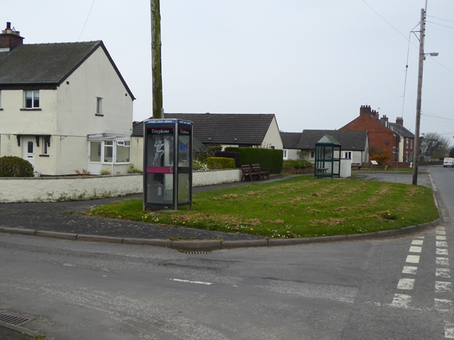
Image: © Oliver Dixon Taken: 9 Apr 2017
Bus stop and decommissioned phone box on what approximates to a village green. It is a sign of the times that even a medium sized village like Kirkbride does not warrant a functioning public telephone.
Images are licensed for reuse under creativecommons.org/licenses/by-sa/2.0
Image Location
Latitude
54.894297
Longitude
-3.203177