Bridleway at Kirkbride
Introduction
The photograph on this page of Bridleway at Kirkbride by Oliver Dixon as part of the Geograph project.
The Geograph project started in 2005 with the aim of publishing, organising and preserving representative images for every square kilometre of Great Britain, Ireland and the Isle of Man.

There are currently over 7.5m images from over 14,400 individuals and you can help contribute to the project by visiting https://www.geograph.org.uk
Bridleway at Kirkbride
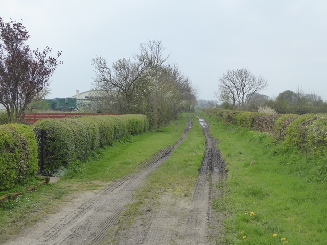
Image: © Oliver Dixon Taken: 9 Apr 2017
Leading to Longlands Head Farm. The arched structure is one of the hangars of the disused RAF Kirkbride airfield.
Images are licensed for reuse under creativecommons.org/licenses/by-sa/2.0
Image Location
Latitude
54.89178
Longitude
-3.203257