Pond, Broadmere Common
Introduction
The photograph on this page of Pond, Broadmere Common by Simon Carey as part of the Geograph project.
The Geograph project started in 2005 with the aim of publishing, organising and preserving representative images for every square kilometre of Great Britain, Ireland and the Isle of Man.

There are currently over 7.5m images from over 14,400 individuals and you can help contribute to the project by visiting https://www.geograph.org.uk
Pond, Broadmere Common
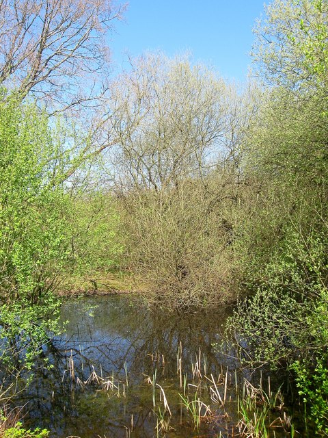
Image: © Simon Carey Taken: 9 Apr 2017
Formed by the extraction of clay for brick making. A kiln was first recorded on the common in 1735 and a brickworks was later located on the western side of the common during the 19th century before closing in the 1890s. There are a number of ponds on the southern side of the stream.
Images are licensed for reuse under creativecommons.org/licenses/by-sa/2.0
Image Location
Latitude
50.922365
Longitude
-0.270741