Shoreham Road, Broadmere Common
Introduction
The photograph on this page of Shoreham Road, Broadmere Common by Simon Carey as part of the Geograph project.
The Geograph project started in 2005 with the aim of publishing, organising and preserving representative images for every square kilometre of Great Britain, Ireland and the Isle of Man.

There are currently over 7.5m images from over 14,400 individuals and you can help contribute to the project by visiting https://www.geograph.org.uk
Shoreham Road, Broadmere Common
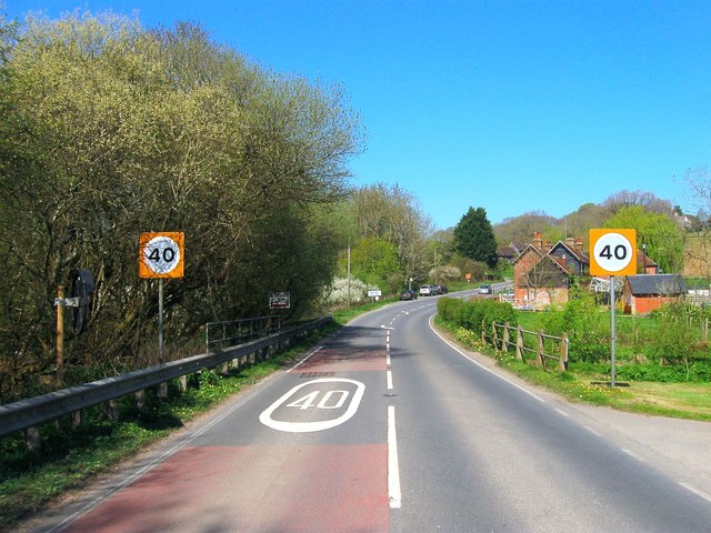
Image: © Simon Carey Taken: 9 Apr 2017
The A2037 crosses an unnamed tributary of the River Adur as it crosses the eastern side of the common. Beyond the curve is Image
Images are licensed for reuse under creativecommons.org/licenses/by-sa/2.0
Image Location
Latitude
50.922978
Longitude
-0.26958