T junction in The Alders, Llanyravon, Cwmbran
Introduction
The photograph on this page of T junction in The Alders, Llanyravon, Cwmbran by Jaggery as part of the Geograph project.
The Geograph project started in 2005 with the aim of publishing, organising and preserving representative images for every square kilometre of Great Britain, Ireland and the Isle of Man.

There are currently over 7.5m images from over 14,400 individuals and you can help contribute to the project by visiting https://www.geograph.org.uk
T junction in The Alders, Llanyravon, Cwmbran
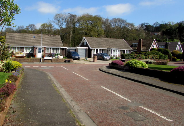
Image: © Jaggery Taken: 7 Apr 2017
The Alders is an area of modern houses located between Llanfrechfa Way and the A4042 Turnpike Road in the Llanyravon district in the southeast of Cwmbran.
Images are licensed for reuse under creativecommons.org/licenses/by-sa/2.0
Image Location
Latitude
51.64105
Longitude
-3.003283