Houses close to the A4
Introduction
The photograph on this page of Houses close to the A4 by Fernweh as part of the Geograph project.
The Geograph project started in 2005 with the aim of publishing, organising and preserving representative images for every square kilometre of Great Britain, Ireland and the Isle of Man.

There are currently over 7.5m images from over 14,400 individuals and you can help contribute to the project by visiting https://www.geograph.org.uk
Houses close to the A4
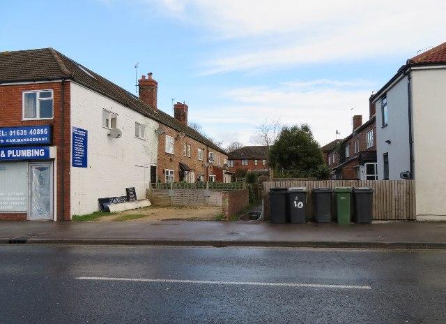
Image: © Fernweh Taken: 5 Mar 2017
I wonder what the air quality is like here.
Images are licensed for reuse under creativecommons.org/licenses/by-sa/2.0
Image Location
Latitude
51.406325
Longitude
-1.315185