Sand Field
Introduction
The photograph on this page of Sand Field by Simon Carey as part of the Geograph project.
The Geograph project started in 2005 with the aim of publishing, organising and preserving representative images for every square kilometre of Great Britain, Ireland and the Isle of Man.

There are currently over 7.5m images from over 14,400 individuals and you can help contribute to the project by visiting https://www.geograph.org.uk
Sand Field
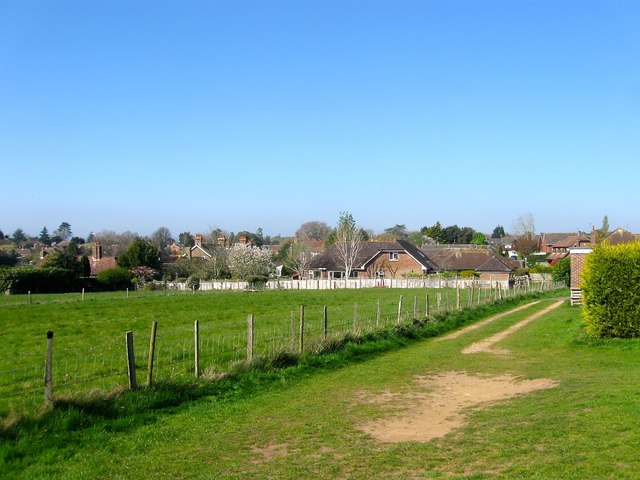
Image: © Simon Carey Taken: 9 Apr 2017
The name of the field according to Henfield's 1844 tithe map. Only the southern end remains with the northern part now containing Image and Henfield Bowling Club. Another field on the edge of the village that you feel will be developed at some point in the future.
Images are licensed for reuse under creativecommons.org/licenses/by-sa/2.0
Image Location
Latitude
50.929066
Longitude
-0.267788