North Cottages, Furners Lane, Henfield
Introduction
The photograph on this page of North Cottages, Furners Lane, Henfield by Simon Carey as part of the Geograph project.
The Geograph project started in 2005 with the aim of publishing, organising and preserving representative images for every square kilometre of Great Britain, Ireland and the Isle of Man.

There are currently over 7.5m images from over 14,400 individuals and you can help contribute to the project by visiting https://www.geograph.org.uk
North Cottages, Furners Lane, Henfield
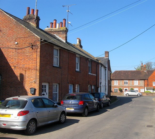
Image: © Simon Carey Taken: 9 Apr 2017
A small terrace of three dwellings that were not marked on Henfield's 1844 tithe map but do appear on the 1875-76 OS map. The junction with high Street is beyond.
Images are licensed for reuse under creativecommons.org/licenses/by-sa/2.0
Image Location
Latitude
50.932275
Longitude
-0.271939