Cardurnock village
Introduction
The photograph on this page of Cardurnock village by Oliver Dixon as part of the Geograph project.
The Geograph project started in 2005 with the aim of publishing, organising and preserving representative images for every square kilometre of Great Britain, Ireland and the Isle of Man.

There are currently over 7.5m images from over 14,400 individuals and you can help contribute to the project by visiting https://www.geograph.org.uk
Cardurnock village
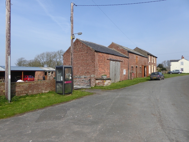
Image: © Oliver Dixon Taken: 9 Apr 2017
Hamlet at the tip of the Anthorn peninsula. The road is followed by Hadrian's Cycleway. It is hardly surprising to find that the telephone kiosk has been decommissioned.
Images are licensed for reuse under creativecommons.org/licenses/by-sa/2.0
Image Location
Latitude
54.916831
Longitude
-3.292932