Site of Fitzharry's Manor
Introduction
The photograph on this page of Site of Fitzharry's Manor by HelenK as part of the Geograph project.
The Geograph project started in 2005 with the aim of publishing, organising and preserving representative images for every square kilometre of Great Britain, Ireland and the Isle of Man.

There are currently over 7.5m images from over 14,400 individuals and you can help contribute to the project by visiting https://www.geograph.org.uk
Site of Fitzharry's Manor
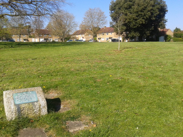
Image: © HelenK Taken: 8 Apr 2017
The site is marked by this modest plaque in an open space surrounded by houses. The manor house has also given its name to a local street. "Fitzharris Manor was just to the north of the historic centre of Abingdon. It was surrounded by ornamental grounds and paddocks, and also held farmland encircling the north and west of Abingdon, from Northcourt to Shippon. The house was demolished in 1953. ... Nothing of the house now remains above ground, but its position is marked by a stone plinth. Although not of great architectural merit, it had interesting features and a long history, and would have been well worth retaining. Fitzharris originated at the beginning of the twelfth century as a property of Abingdon Abbey. .... After the dissolution of the Abbey in 1538 the freehold passed to the new Borough of Abingdon. .... In 1862 the freehold was sold by the Borough and passed through a succession of owners. The farmland was gradually sold for housing development. The last of these freeholders was Major-General Sir Charles Corkran who died in 1939. After war-time occupation by a girls’ school evacuated from Kent, the house and its home-plot were purchased by the Ministry of Supply as the site for an estate of 140 houses for senior staff at the new Atomic Energy Research Establishment. No use could be found for the manor house, which became neglected and vandalised, and was eventually demolished." http://www.abingdon.gov.uk/history/streets/fitzharris-estate
Images are licensed for reuse under creativecommons.org/licenses/by-sa/2.0
Image Location
Latitude
51.673906
Longitude
-1.283826