Mot's End
Introduction
The photograph on this page of Mot's End by Robin Webster as part of the Geograph project.
The Geograph project started in 2005 with the aim of publishing, organising and preserving representative images for every square kilometre of Great Britain, Ireland and the Isle of Man.

There are currently over 7.5m images from over 14,400 individuals and you can help contribute to the project by visiting https://www.geograph.org.uk
Mot's End
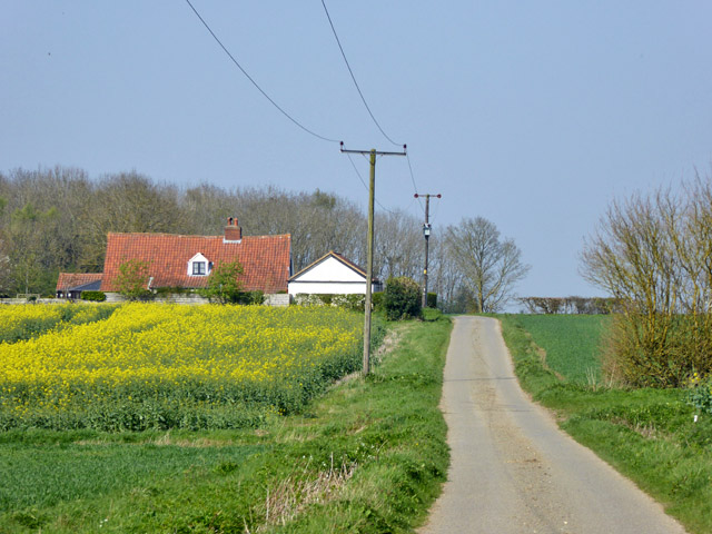
Image: © Robin Webster Taken: 8 Apr 2017
The lane does a right-angled bend to the left around the house. The house, from about 1700, is a grade II listed building. It is described as having a thatched roof, which is not the case now.
Images are licensed for reuse under creativecommons.org/licenses/by-sa/2.0
Image Location
Latitude
52.163836
Longitude
0.518605