Barnes Development at Keele University
Introduction
The photograph on this page of Barnes Development at Keele University by Jonathan Hutchins as part of the Geograph project.
The Geograph project started in 2005 with the aim of publishing, organising and preserving representative images for every square kilometre of Great Britain, Ireland and the Isle of Man.

There are currently over 7.5m images from over 14,400 individuals and you can help contribute to the project by visiting https://www.geograph.org.uk
Barnes Development at Keele University
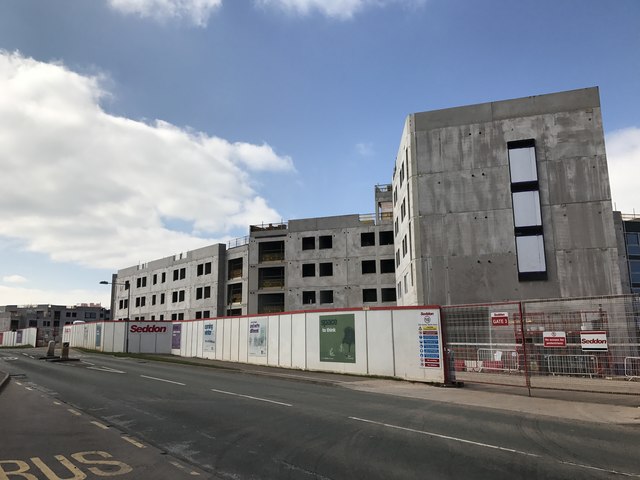
Image: © Jonathan Hutchins Taken: 7 Apr 2017
The same building when completed can be seen from almost the same view point here: https://www.geograph.org.uk/photo/5683088 website: https://www.keele.ac.uk/barnesdevelopment/
Images are licensed for reuse under creativecommons.org/licenses/by-sa/2.0
Image Location


Leaflet Map data © OpenStreetMap
Latitude
53.005159
Longitude
-2.26939