Nineteenth Century Benchmark on Salwey Arms
Introduction
The photograph on this page of Nineteenth Century Benchmark on Salwey Arms by Shantavira as part of the Geograph project.
The Geograph project started in 2005 with the aim of publishing, organising and preserving representative images for every square kilometre of Great Britain, Ireland and the Isle of Man.

There are currently over 7.5m images from over 14,400 individuals and you can help contribute to the project by visiting https://www.geograph.org.uk
Nineteenth Century Benchmark on Salwey Arms
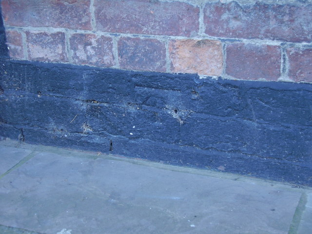
Image: © Shantavira Taken: 8 Apr 2017
This Ordnance Survey bench mark was established in 1849 during the First primary levelling of England & Wales, and was levelled with a height of 242.9290 feet [74.0448 metres] above mean sea level (Liverpool datum). It was included on the Worcester to Aberystwyth levelling line. The surveyor's description was "No. 101. Bolt in front of the Silway Arms Inn, at junction of road to Ludlow ; 1.49 ft. above surface" (Public Abstract p.552).
Images are licensed for reuse under creativecommons.org/licenses/by-sa/2.0
Image Location
Latitude
52.312409
Longitude
-2.705658