Mill Island, Nantwich
Introduction
The photograph on this page of Mill Island, Nantwich by Stephen McKay as part of the Geograph project.
The Geograph project started in 2005 with the aim of publishing, organising and preserving representative images for every square kilometre of Great Britain, Ireland and the Isle of Man.

There are currently over 7.5m images from over 14,400 individuals and you can help contribute to the project by visiting https://www.geograph.org.uk
Mill Island, Nantwich
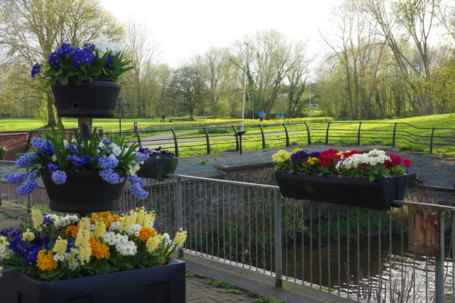
Image: © Stephen McKay Taken: 1 Apr 2017
This is the site of a former water mill, evidence for which dates from the 6th century and there were mill buildings here from the 13th century. The island which creates two channels on the River Weaver near the centre of the town is artificial allowing the creation of a mill stream to power the water wheel. The last mill building, a four storey structure, was destroyed by fire in 1970 and all that remains now is this small bridge.
Images are licensed for reuse under creativecommons.org/licenses/by-sa/2.0
Image Location
Latitude
53.066244
Longitude
-2.524215