Eccup Lane crossing a parish boundary
Introduction
The photograph on this page of Eccup Lane crossing a parish boundary by Humphrey Bolton as part of the Geograph project.
The Geograph project started in 2005 with the aim of publishing, organising and preserving representative images for every square kilometre of Great Britain, Ireland and the Isle of Man.

There are currently over 7.5m images from over 14,400 individuals and you can help contribute to the project by visiting https://www.geograph.org.uk
Eccup Lane crossing a parish boundary
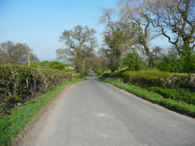
Image: © Humphrey Bolton Taken: 8 Apr 2017
The road goes from Alwoodley into Harewood, whilst the hedge on the left is the boundary with Arthington.
Images are licensed for reuse under creativecommons.org/licenses/by-sa/2.0
Image Location
Latitude
53.888859
Longitude
-1.560714