Webbers Way, Willand
Introduction
The photograph on this page of Webbers Way, Willand by David Smith as part of the Geograph project.
The Geograph project started in 2005 with the aim of publishing, organising and preserving representative images for every square kilometre of Great Britain, Ireland and the Isle of Man.

There are currently over 7.5m images from over 14,400 individuals and you can help contribute to the project by visiting https://www.geograph.org.uk
Webbers Way, Willand
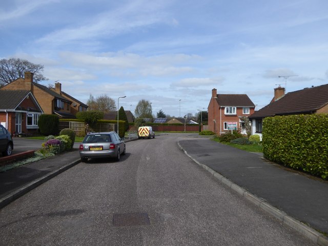
Image: © David Smith Taken: 5 Apr 2017
A road in a modern housing estate; other roads in the estate have names of fruit, but this appears to be named after a local firm of estate agents
Images are licensed for reuse under creativecommons.org/licenses/by-sa/2.0
Image Location
Latitude
50.886929
Longitude
-3.369995