Paths crossing Hob Moor
Introduction
The photograph on this page of Paths crossing Hob Moor by DS Pugh as part of the Geograph project.
The Geograph project started in 2005 with the aim of publishing, organising and preserving representative images for every square kilometre of Great Britain, Ireland and the Isle of Man.

There are currently over 7.5m images from over 14,400 individuals and you can help contribute to the project by visiting https://www.geograph.org.uk
Paths crossing Hob Moor
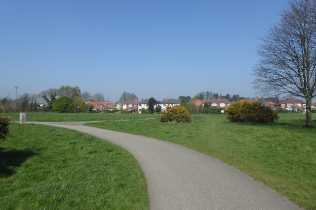
Image: © DS Pugh Taken: 8 Apr 2017
The main tarmac path crossing Hob Moor. This runs around the edge, whilst the moor itself is crossed by many unsurfaced footpaths.
Images are licensed for reuse under creativecommons.org/licenses/by-sa/2.0
Image Location


Leaflet Map data © OpenStreetMap
Latitude
53.948655
Longitude
-1.110297