Wombwell library.
Introduction
The photograph on this page of Wombwell library. by Steve Fareham as part of the Geograph project.
The Geograph project started in 2005 with the aim of publishing, organising and preserving representative images for every square kilometre of Great Britain, Ireland and the Isle of Man.

There are currently over 7.5m images from over 14,400 individuals and you can help contribute to the project by visiting https://www.geograph.org.uk
Wombwell library.
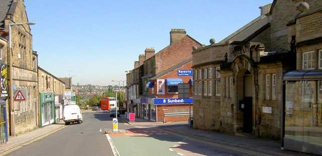
Image: © Steve Fareham Taken: 24 Aug 2007
On the right the library on the left the new Temple Gym, which was the Salvation Army Citadel. The road has been one way for years making it difficult to get to the shops on Wombwell high street for people from Darfield.
Images are licensed for reuse under creativecommons.org/licenses/by-sa/2.0
Image Location
Latitude
53.522595
Longitude
-1.396633