Where Fore Street meets Cornmarket Street and Well Street
Introduction
The photograph on this page of Where Fore Street meets Cornmarket Street and Well Street by Roger A Smith as part of the Geograph project.
The Geograph project started in 2005 with the aim of publishing, organising and preserving representative images for every square kilometre of Great Britain, Ireland and the Isle of Man.

There are currently over 7.5m images from over 14,400 individuals and you can help contribute to the project by visiting https://www.geograph.org.uk
Where Fore Street meets Cornmarket Street and Well Street
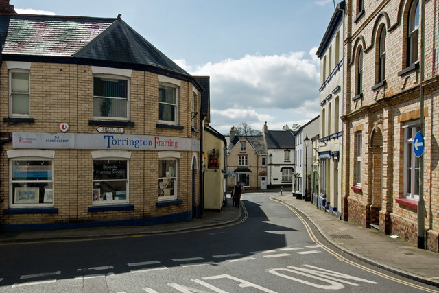
Image: © Roger A Smith Taken: 6 Apr 2017
Note the direction sign on the wall of Torrington Framing stating the distance in fractions of a mile: Exeter 34 ¾ Plymouth 52 ¾.
Images are licensed for reuse under creativecommons.org/licenses/by-sa/2.0
Image Location


Leaflet Map data © OpenStreetMap
Latitude
50.952018
Longitude
-4.142441