Torrington from the west
Introduction
The photograph on this page of Torrington from the west by Roger A Smith as part of the Geograph project.
The Geograph project started in 2005 with the aim of publishing, organising and preserving representative images for every square kilometre of Great Britain, Ireland and the Isle of Man.

There are currently over 7.5m images from over 14,400 individuals and you can help contribute to the project by visiting https://www.geograph.org.uk
Torrington from the west
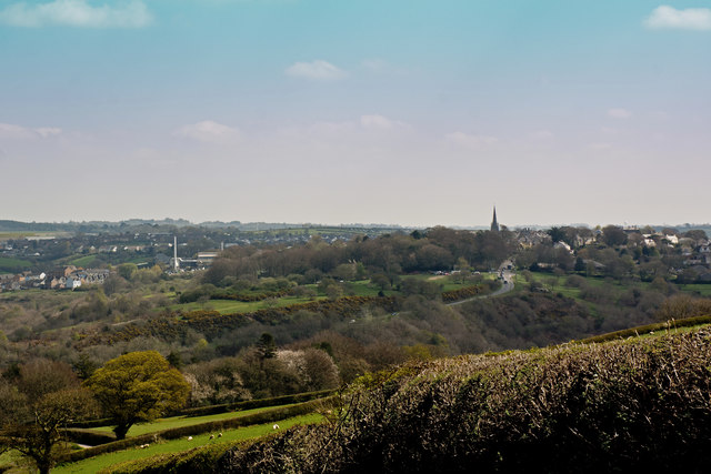
Image: © Roger A Smith Taken: 7 Apr 2017
The church spire of St Michael and All Angels' is to the right of centre. Below this is the A386, Station Hill. To the left is Dartington Crystal. The golf ball shaped National Air Traffic Services radar at Eaglescott airfield is just visible towards the right side of the image above the roof tops.
Images are licensed for reuse under creativecommons.org/licenses/by-sa/2.0
Image Location


Leaflet Map data © OpenStreetMap
Latitude
50.953536
Longitude
-4.158629