Treweatha
Introduction
The photograph on this page of Treweatha by Rob Farrow as part of the Geograph project.
The Geograph project started in 2005 with the aim of publishing, organising and preserving representative images for every square kilometre of Great Britain, Ireland and the Isle of Man.

There are currently over 7.5m images from over 14,400 individuals and you can help contribute to the project by visiting https://www.geograph.org.uk
Treweatha
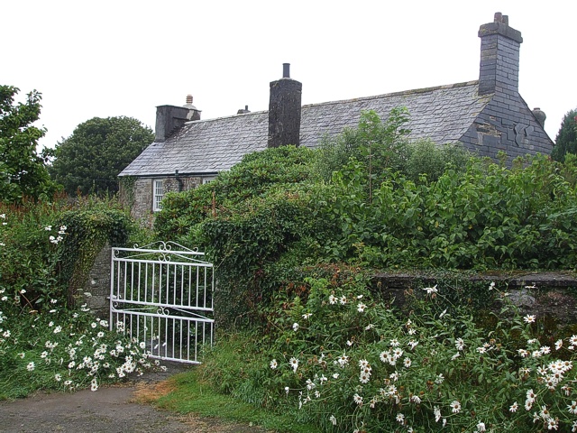
Image: © Rob Farrow Taken: 14 Aug 2007
Snuggled behind a wall is the farmhouse at Treweatha. I think the large daisy-like flowers at the front are marguerites.
Images are licensed for reuse under creativecommons.org/licenses/by-sa/2.0
Image Location


Leaflet Map data © OpenStreetMap
Latitude
50.465718
Longitude
-4.408976