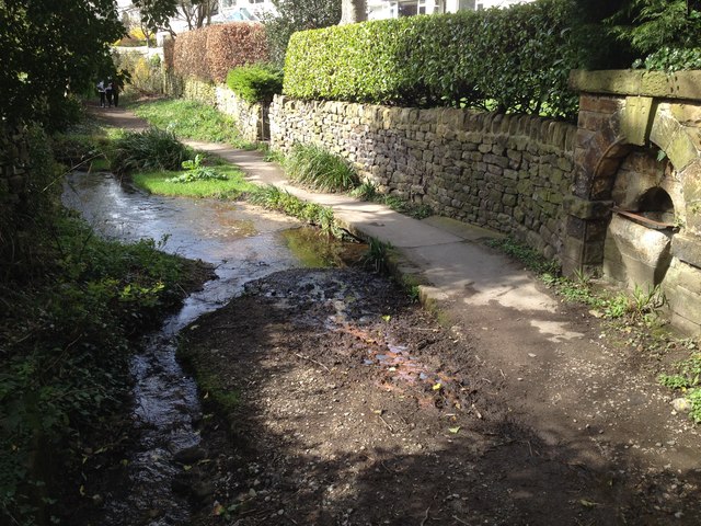
Spa Lane, Bingley
Introduction
The photograph on this page of Spa Lane, Bingley by John Davies as part of the Geograph project.
The Geograph project started in 2005 with the aim of publishing, organising and preserving representative images for every square kilometre of Great Britain, Ireland and the Isle of Man.
There are currently over 7.5m images from over 14,400 individuals and you can help contribute to the project by visiting https://www.geograph.org.uk

Image: © John Davies Taken: 3 Apr 2017
From Park Road, Spa Lane rapidly becomes a track. A small stream runs parallel to the track before meeting a larger beck. The larger beck flows under the large stone slab in the centre. The flow continues alongside the path before dropping under the wall on the left. This beck is the principal contributor to New Mill Gill, which flows under the bottom of 5 Rise Locks. The drinking fountain on the right is labelled "spa" on the 1847-8 OS map. Presumably that is why the path is named Spa Lane. Nevertheless it seems a strange place to have a drinking fountain.

