Rosebery Avenue, Bridgwater
Introduction
The photograph on this page of Rosebery Avenue, Bridgwater by Jaggery as part of the Geograph project.
The Geograph project started in 2005 with the aim of publishing, organising and preserving representative images for every square kilometre of Great Britain, Ireland and the Isle of Man.

There are currently over 7.5m images from over 14,400 individuals and you can help contribute to the project by visiting https://www.geograph.org.uk
Rosebery Avenue, Bridgwater
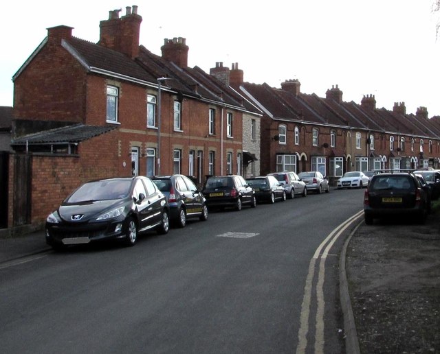
Image: © Jaggery Taken: 3 Apr 2017
Viewed from the A39 Bath Road end. Rosebery Avenue extends for about 200 metres to the corner of Bailey Street. All the houses in Rosebery Avenue are on one side on the road, opposite trees and bushes.
Images are licensed for reuse under creativecommons.org/licenses/by-sa/2.0
Image Location
Latitude
51.131474
Longitude
-2.993055