Bath Road houses, Bridgwater
Introduction
The photograph on this page of Bath Road houses, Bridgwater by Jaggery as part of the Geograph project.
The Geograph project started in 2005 with the aim of publishing, organising and preserving representative images for every square kilometre of Great Britain, Ireland and the Isle of Man.

There are currently over 7.5m images from over 14,400 individuals and you can help contribute to the project by visiting https://www.geograph.org.uk
Bath Road houses, Bridgwater
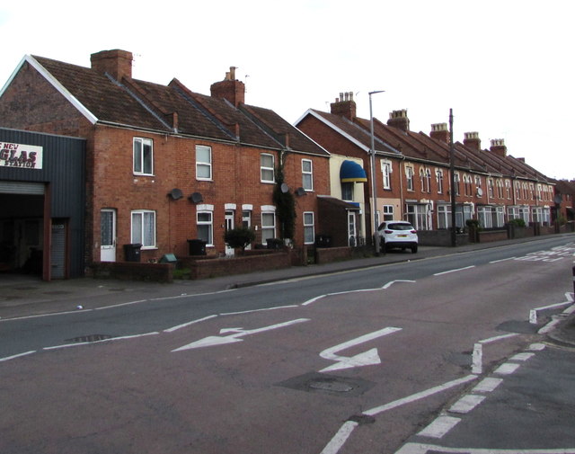
Image: © Jaggery Taken: 3 Apr 2017
Viewed across the A39 Bath Road from the corner of Rosebery Avenue. The New Douglas Service Station http://www.geograph.org.uk/photo/5340066 is on the left.
Images are licensed for reuse under creativecommons.org/licenses/by-sa/2.0
Image Location
Latitude
51.132642
Longitude
-2.993223