Looking ENE along an unnamed road
Introduction
The photograph on this page of Looking ENE along an unnamed road by John Baker as part of the Geograph project.
The Geograph project started in 2005 with the aim of publishing, organising and preserving representative images for every square kilometre of Great Britain, Ireland and the Isle of Man.

There are currently over 7.5m images from over 14,400 individuals and you can help contribute to the project by visiting https://www.geograph.org.uk
Looking ENE along an unnamed road
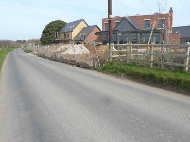
Image: © John Baker Taken: 26 Mar 2017
Compared with this earlier view of Image, another house has been constructed beyond the nearest but the piles of soil seem to indicate that ground work is ongoing. Planning permission was granted by Dover District Council under application number DOV/12/00450, for “(A) Full application for change of use and conversion of two engine sheds to six live/work units and (B) Outline application for the erection of nineteen dwellings of B1(c) accommodation, construction of vehicular access, associated car parking and landscaping (existing buildings/structures to be demolished)”. The development of the site, which has been named Hammill Park, is being managed by Quinn Estates http://quinn-estates.com/future-developments#current-projects/hammill-brickworks
Images are licensed for reuse under creativecommons.org/licenses/by-sa/2.0
Image Location
Latitude
51.256003
Longitude
1.286111