Mains of Dumbreck Farm
Introduction
The photograph on this page of Mains of Dumbreck Farm by Ken Fitlike as part of the Geograph project.
The Geograph project started in 2005 with the aim of publishing, organising and preserving representative images for every square kilometre of Great Britain, Ireland and the Isle of Man.

There are currently over 7.5m images from over 14,400 individuals and you can help contribute to the project by visiting https://www.geograph.org.uk
Mains of Dumbreck Farm
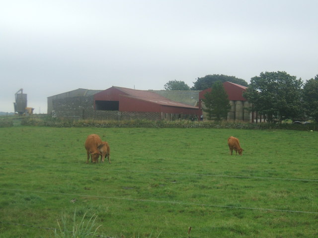
Image: © Ken Fitlike Taken: 21 Aug 2007
Style of the buildings suggest they were mostly erected in the 1960s - before the modern 'industrial unit' mega sheds became common.
Images are licensed for reuse under creativecommons.org/licenses/by-sa/2.0
Image Location
Latitude
57.349761
Longitude
-2.172969