Fields at Mill of Torry Farm
Introduction
The photograph on this page of Fields at Mill of Torry Farm by Ken Fitlike as part of the Geograph project.
The Geograph project started in 2005 with the aim of publishing, organising and preserving representative images for every square kilometre of Great Britain, Ireland and the Isle of Man.

There are currently over 7.5m images from over 14,400 individuals and you can help contribute to the project by visiting https://www.geograph.org.uk
Fields at Mill of Torry Farm
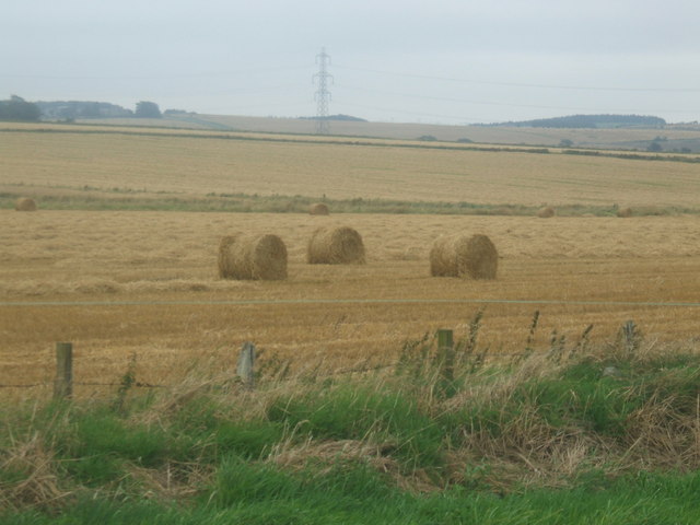
Image: © Ken Fitlike Taken: 21 Aug 2007
Stripe Burn in mid-shot provides the drainage needed to keep the soil in good condition
Images are licensed for reuse under creativecommons.org/licenses/by-sa/2.0
Image Location
Latitude
57.344768
Longitude
-2.143537