Northcote Lane Wall
Introduction
The photograph on this page of Northcote Lane Wall by Gordon Griffiths as part of the Geograph project.
The Geograph project started in 2005 with the aim of publishing, organising and preserving representative images for every square kilometre of Great Britain, Ireland and the Isle of Man.

There are currently over 7.5m images from over 14,400 individuals and you can help contribute to the project by visiting https://www.geograph.org.uk
Northcote Lane Wall
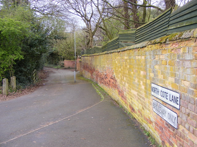
Image: © Gordon Griffiths Taken: 1 Apr 2017
The view alongside Northycote Farm Country Park, Wolverhampton.
Images are licensed for reuse under creativecommons.org/licenses/by-sa/2.0
Image Location
Latitude
52.626872
Longitude
-2.10603