Track junction north of Gaunt's Hill, Bestwood Country Park
Introduction
The photograph on this page of Track junction north of Gaunt's Hill, Bestwood Country Park by Richard Vince as part of the Geograph project.
The Geograph project started in 2005 with the aim of publishing, organising and preserving representative images for every square kilometre of Great Britain, Ireland and the Isle of Man.

There are currently over 7.5m images from over 14,400 individuals and you can help contribute to the project by visiting https://www.geograph.org.uk
Track junction north of Gaunt's Hill, Bestwood Country Park
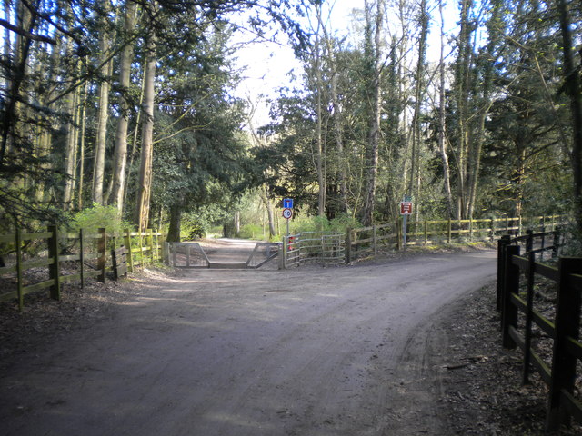
Image: © Richard Vince Taken: 2 Apr 2017
At this point, the track to the right becomes a public footpath, but is open to vehicles for access to a riding school a quarter of a mile further on. The track ahead forms one of the main paths through the country park, hence the provision of access for pedestrians and horses but not for unauthorised cars.
Images are licensed for reuse under creativecommons.org/licenses/by-sa/2.0
Image Location
Latitude
53.017647
Longitude
-1.15371