Queen's Park [9]
Introduction
The photograph on this page of Queen's Park [9] by Michael Dibb as part of the Geograph project.
The Geograph project started in 2005 with the aim of publishing, organising and preserving representative images for every square kilometre of Great Britain, Ireland and the Isle of Man.

There are currently over 7.5m images from over 14,400 individuals and you can help contribute to the project by visiting https://www.geograph.org.uk
Queen's Park [9]
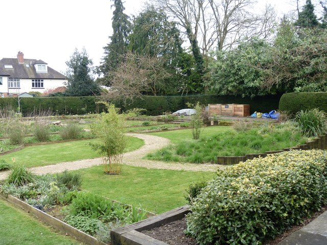
Image: © Michael Dibb Taken: 28 Mar 2017
The 'secret garden' at the eastern end of the park is now a community space tended by an army of volunteers. Queen's Park covers 12 acres with the large lake being some 2 acres. Once a derelict clay pit belonging to a local builder and brick maker Thomas Turner the park was laid out in an informal style in the 1950s and 1960s. The park is on the Register of Historic Parks and Gardens and there is much history and detail at: https://www.historicengland.org.uk/listing/the-list/list-entry/1001549
Images are licensed for reuse under creativecommons.org/licenses/by-sa/2.0
Image Location
Latitude
51.557007
Longitude
-1.774646