Towards Bowden
Introduction
The photograph on this page of Towards Bowden by Derek Harper as part of the Geograph project.
The Geograph project started in 2005 with the aim of publishing, organising and preserving representative images for every square kilometre of Great Britain, Ireland and the Isle of Man.

There are currently over 7.5m images from over 14,400 individuals and you can help contribute to the project by visiting https://www.geograph.org.uk
Towards Bowden
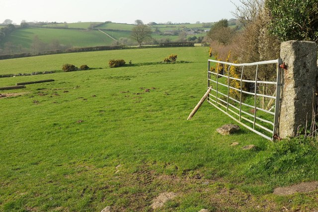
Image: © Derek Harper Taken: 27 Mar 2017
Taken just around the corner shown in Image], looking right, with Moretonhampstead Footpath 10 behind the hedge on the right. The farm at Bowden, across the valley, is just into Image
Images are licensed for reuse under creativecommons.org/licenses/by-sa/2.0
Image Location
Latitude
50.674045
Longitude
-3.771531