Butterdon Down
Introduction
The photograph on this page of Butterdon Down by Derek Harper as part of the Geograph project.
The Geograph project started in 2005 with the aim of publishing, organising and preserving representative images for every square kilometre of Great Britain, Ireland and the Isle of Man.

There are currently over 7.5m images from over 14,400 individuals and you can help contribute to the project by visiting https://www.geograph.org.uk
Butterdon Down
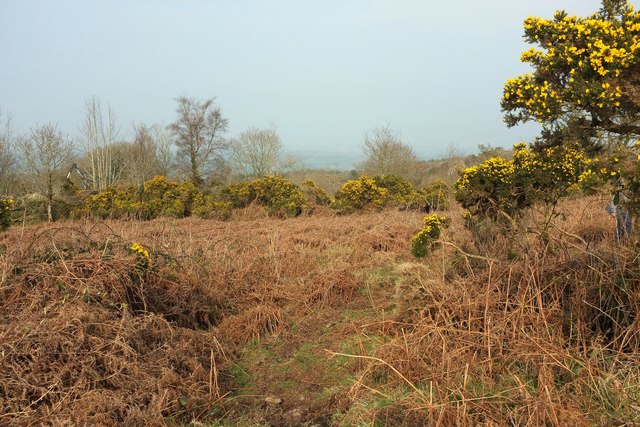
Image: © Derek Harper Taken: 27 Mar 2017
Woodland encloses the northeastern side of the access land, and much of it is being cleared. A Botex crane is at work at the moment.
Images are licensed for reuse under creativecommons.org/licenses/by-sa/2.0
Image Location
Latitude
50.683611
Longitude
-3.769343