South along Church Street, Bridgwater
Introduction
The photograph on this page of South along Church Street, Bridgwater by Jaggery as part of the Geograph project.
The Geograph project started in 2005 with the aim of publishing, organising and preserving representative images for every square kilometre of Great Britain, Ireland and the Isle of Man.

There are currently over 7.5m images from over 14,400 individuals and you can help contribute to the project by visiting https://www.geograph.org.uk
South along Church Street, Bridgwater
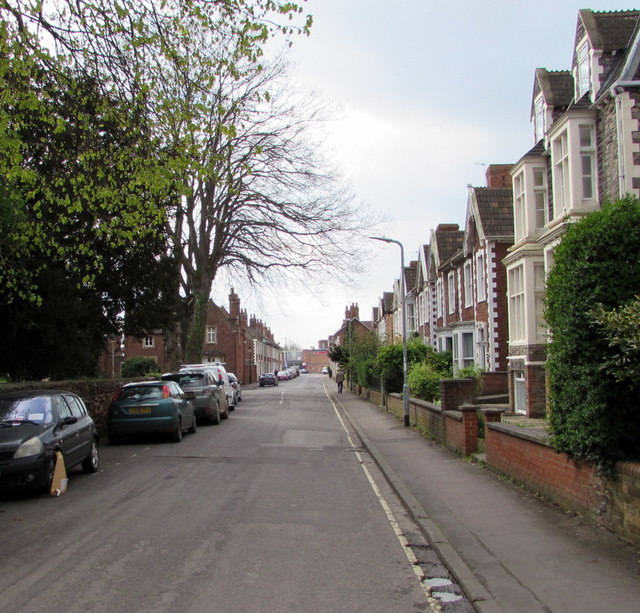
Image: © Jaggery Taken: 3 Apr 2017
This way to the Parish Church of St John the Baptist. http://www.geograph.org.uk/photo/5335811 A wheel clamp is on the car on the left.
Images are licensed for reuse under creativecommons.org/licenses/by-sa/2.0
Image Location
Latitude
51.130532
Longitude
-2.998037