Information board, St John the Baptist, Bridgwater
Introduction
The photograph on this page of Information board, St John the Baptist, Bridgwater by Jaggery as part of the Geograph project.
The Geograph project started in 2005 with the aim of publishing, organising and preserving representative images for every square kilometre of Great Britain, Ireland and the Isle of Man.

There are currently over 7.5m images from over 14,400 individuals and you can help contribute to the project by visiting https://www.geograph.org.uk
Information board, St John the Baptist, Bridgwater
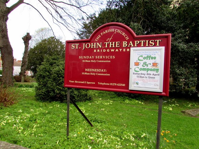
Image: © Jaggery Taken: 3 Apr 2017
On the corner of Blake Place and Church Street, at the southwest edge of the churchyard of the Parish Church of St John the Baptist. http://www.geograph.org.uk/photo/5335811
Images are licensed for reuse under creativecommons.org/licenses/by-sa/2.0
Image Location
Latitude
51.130893
Longitude
-2.997902