Track to Swan Lane Farm
Introduction
The photograph on this page of Track to Swan Lane Farm by Marathon as part of the Geograph project.
The Geograph project started in 2005 with the aim of publishing, organising and preserving representative images for every square kilometre of Great Britain, Ireland and the Isle of Man.

There are currently over 7.5m images from over 14,400 individuals and you can help contribute to the project by visiting https://www.geograph.org.uk
Track to Swan Lane Farm
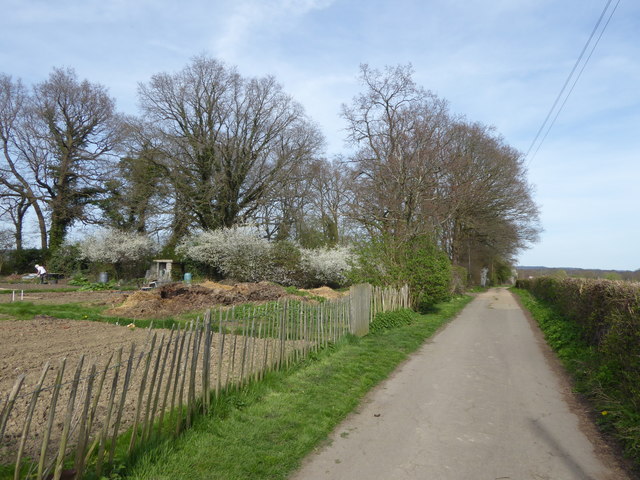
Image: © Marathon Taken: 30 Mar 2017
This access road leads off Swan Lane and past the allotments on the left. Swan Lane Farm is just around the bend. A footpath also follows the lane and beyond Swan Lane Farm splits into a number of footpaths through the countryside to the north-east of Edenbridge.
Images are licensed for reuse under creativecommons.org/licenses/by-sa/2.0
Image Location
Latitude
51.212085
Longitude
0.064246