Hedgerow on the edge of Edenbridge
Introduction
The photograph on this page of Hedgerow on the edge of Edenbridge by Marathon as part of the Geograph project.
The Geograph project started in 2005 with the aim of publishing, organising and preserving representative images for every square kilometre of Great Britain, Ireland and the Isle of Man.

There are currently over 7.5m images from over 14,400 individuals and you can help contribute to the project by visiting https://www.geograph.org.uk
Hedgerow on the edge of Edenbridge
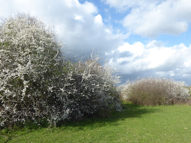
Image: © Marathon Taken: 1 Apr 2017
This hedgerow is on the path between Burnt Oak Farm and Edenbridge Church beyond the River Eden.
Images are licensed for reuse under creativecommons.org/licenses/by-sa/2.0
Image Location
Latitude
51.193549
Longitude
0.069858