Industrial units Ash Lane Garforth
Introduction
The photograph on this page of Industrial units Ash Lane Garforth by Martin Dawes as part of the Geograph project.
The Geograph project started in 2005 with the aim of publishing, organising and preserving representative images for every square kilometre of Great Britain, Ireland and the Isle of Man.

There are currently over 7.5m images from over 14,400 individuals and you can help contribute to the project by visiting https://www.geograph.org.uk
Industrial units Ash Lane Garforth
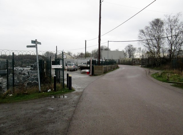
Image: © Martin Dawes Taken: 29 Mar 2017
Also a footpath junction we are going left
Images are licensed for reuse under creativecommons.org/licenses/by-sa/2.0
Image Location
Latitude
53.79932
Longitude
-1.374147