Foss Walk
Introduction
The photograph on this page of Foss Walk by Gordon Hatton as part of the Geograph project.
The Geograph project started in 2005 with the aim of publishing, organising and preserving representative images for every square kilometre of Great Britain, Ireland and the Isle of Man.

There are currently over 7.5m images from over 14,400 individuals and you can help contribute to the project by visiting https://www.geograph.org.uk
Foss Walk
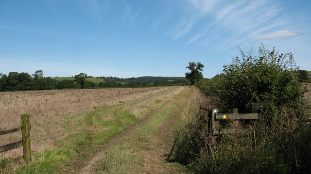
Image: © Gordon Hatton Taken: 23 Aug 2007
On the route of the Foss Walk near Crayke. The walk follows the course of the River Foss from York to its source near Yearsley, then loops south west to end at Easingwold.
Images are licensed for reuse under creativecommons.org/licenses/by-sa/2.0
Image Location


Leaflet Map data © OpenStreetMap
Latitude
54.14216
Longitude
-1.134322