Bridleway above Compass Cove
Introduction
The photograph on this page of Bridleway above Compass Cove by Derek Harper as part of the Geograph project.
The Geograph project started in 2005 with the aim of publishing, organising and preserving representative images for every square kilometre of Great Britain, Ireland and the Isle of Man.

There are currently over 7.5m images from over 14,400 individuals and you can help contribute to the project by visiting https://www.geograph.org.uk
Bridleway above Compass Cove
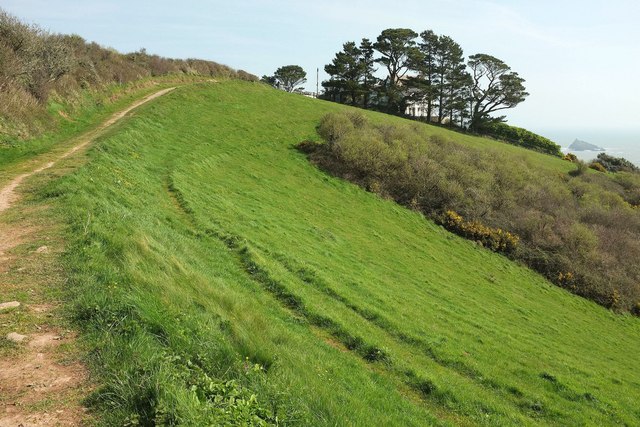
Image: © Derek Harper Taken: 26 Mar 2017
A reverse view of Image] from the same spot as Image], with Dartmouth Bridleway 7 approaching the coastguard cottages (now Compass Cove Cottages, self-catering holiday accommodation) largely obscured by the pines.
Images are licensed for reuse under creativecommons.org/licenses/by-sa/2.0
Image Location


Leaflet Map data © OpenStreetMap
Latitude
50.33617
Longitude
-3.569645