Footpath at Stopsley Holes
Introduction
The photograph on this page of Footpath at Stopsley Holes by Humphrey Bolton as part of the Geograph project.
The Geograph project started in 2005 with the aim of publishing, organising and preserving representative images for every square kilometre of Great Britain, Ireland and the Isle of Man.

There are currently over 7.5m images from over 14,400 individuals and you can help contribute to the project by visiting https://www.geograph.org.uk
Footpath at Stopsley Holes
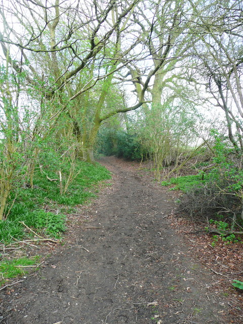
Image: © Humphrey Bolton Taken: 28 Mar 2017
This looks like an old lane, sunken in places, but the 1880 1:2500 map shows that it only led to a field and a field path, as it does now.
Images are licensed for reuse under creativecommons.org/licenses/by-sa/2.0
Image Location


Leaflet Map data © OpenStreetMap
Latitude
51.911976
Longitude
-0.319495