Coast Watch
Introduction
The photograph on this page of Coast Watch by Andrew Wood as part of the Geograph project.
The Geograph project started in 2005 with the aim of publishing, organising and preserving representative images for every square kilometre of Great Britain, Ireland and the Isle of Man.

There are currently over 7.5m images from over 14,400 individuals and you can help contribute to the project by visiting https://www.geograph.org.uk
Coast Watch
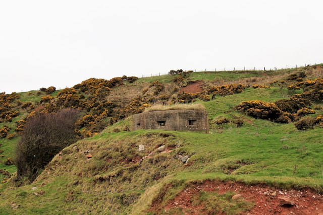
Image: © Andrew Wood Taken: 18 Mar 2017
A wartime pillbox below East Mathers likely placed there to guard the beach below.
Images are licensed for reuse under creativecommons.org/licenses/by-sa/2.0
Image Location
Latitude
56.784037
Longitude
-2.365114