A64 near Willerby
Introduction
The photograph on this page of A64 near Willerby by J.Hannan-Briggs as part of the Geograph project.
The Geograph project started in 2005 with the aim of publishing, organising and preserving representative images for every square kilometre of Great Britain, Ireland and the Isle of Man.

There are currently over 7.5m images from over 14,400 individuals and you can help contribute to the project by visiting https://www.geograph.org.uk
A64 near Willerby
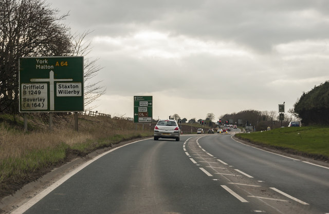
Image: © J.Hannan-Briggs Taken: 13 Mar 2017
Approaching junction with B1249 and road to Staxton and Willerby. The Hare and hounds pub is ahead on the right.
Images are licensed for reuse under creativecommons.org/licenses/by-sa/2.0
Image Location
Latitude
54.196783
Longitude
-0.443544